Thematic maps are used to illustrate a particular theme within a geographic area. Such maps can portray any aspect you choose, physical, economic, cultural and so on. Below are three such examples.
Isopleth map
Maps that use contour lines of equal value

Chloropleth Map
Maps that use area shading, patterns or a combination of both to describe statistical values visually
 |
| source: http://data.is/1h0keSM |
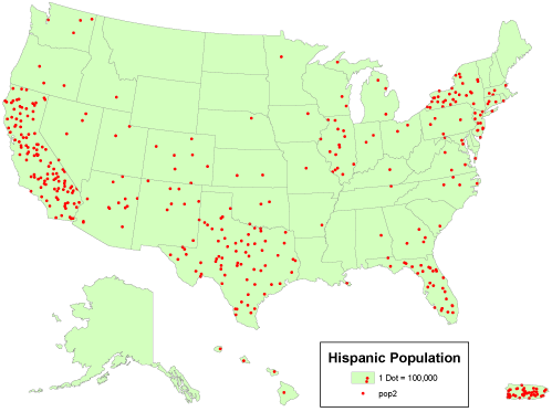
Dot Distribution Map
Maps that utilize dot symbols to illustrate spatial patterns of different features or phenomenon
 |
| Source: |
No comments:
Post a Comment